
Empowering Sustainable Decisions via Remote Sensing
Get StartedSee through clouds, fog.
See the details with high resolutions.
Receive date as fast as 15 minutes.
Capture data at every corner of the world!
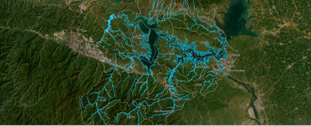
Our crucial role in safeguarding the health of Earth's aquatic ecosystems by facilitating comprehensive monitoring of water quality and alterations in water bodies, including lakes, rivers, and wetlands.
Effectively monitor vertical deformation by capturing subtle ground displacements and analyzing surface movements.
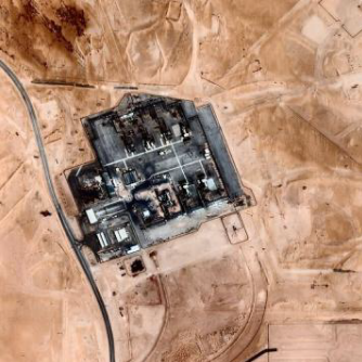
The substantial commercial value of this technology can assist in making precise decisions in disaster monitoring, agricultural management, urban planning and resource exploration.
It improves weather forecasting, tracks long-term atmospheric trends, and supports policy-making with scientific data..
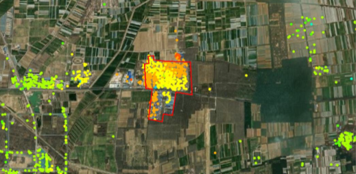
It helps detect geological risks through surface subsidence monitoring, safeguards infrastructure, and enables rapid oil spill detection to minimize environmental damage.
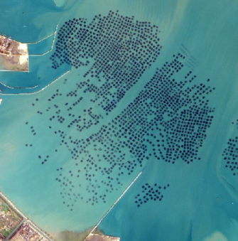
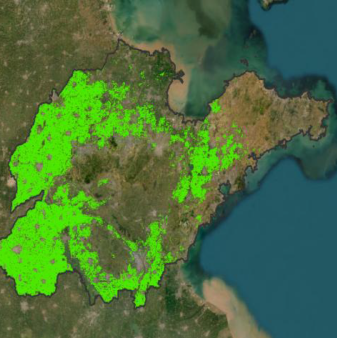
It is essential for monitoring climate change, protecting biodiversity, and managing marine resources.
| Parameter | Specification |
|---|---|
| Satellite Type | SAR Satellite |
| Weight | 280 KG |
| Battery | 60Ah x 13 ≈ 15kWh |
| Power | It 4.45m² Solar Panels (Peak Power 4000W) |
| Communication | X-band |
| Downlink Rate | 2 x (44 / 600 / 900) Mbps (Selectable Modes) |
| Measurement Accuracy | 3-Axis / 0.01 DEG |
| Pointing Accuracy | 3-Axis / 0.02 DEG |
| Ground Error | 0.17km |
| Propulsion | Electric Propulsion |
| Lifetime | ≥ 5 Years |
| Carrier Frequency | 9.6 GHz |
| Bandwidth | 600 MHz |
| Look Direction | Left & Right |
| Polarization | HH Polarization |
| Antenna Type | Phased Array Antenna |
| Imaging Duration per Orbit | 180s Imaging per Orbit |
| RF Power | 4 kW |
| Spot Mode | 10 x 10 km Coverage |
| Resolution | 0.5m Resolution |